
Falls Du neu auf meinem Blog bist, kannst Du hier nachlesen, worum es eigentlich geht!
Oder durchstöbere meinen Blog und dessen Beiträge nach Veröffentlichungsdatum,
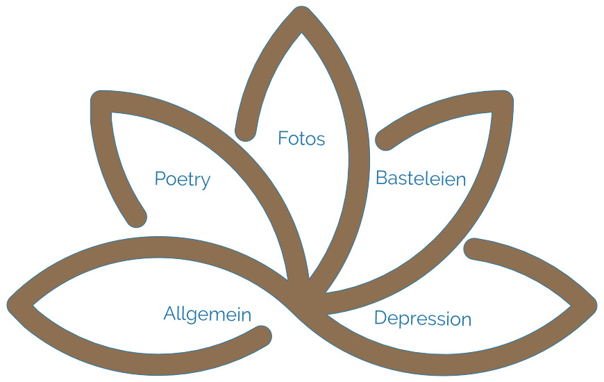
oder wähle direkt eine Kategorie, die Dich interessiert…
… besuche auch gerne einen meiner anderen Blogs
- Sensorgrafie – der Fotografie Blog
- Cookie on Tour – mit der Buschbüchse unterwegs
- Joerg Knoerchen Fotografie – mein Portfolio
Meine Blogbeiträge
-
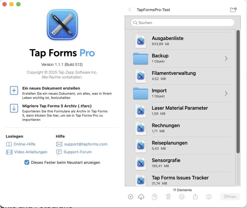
Tap Forms Pro – Mein digitaler Assistent
Tap Forms Pro ist eine universelle Datenbank mit einer Vorlagenbibliothek und Ideensammlung. Ein täglicher Begleiter und digitaler Assistent.
-

Mein neues Hobby – 3D Druck
Was ist 3D‑Druck – und warum fasziniert er mich? 3D‑Druck ist eine der spannendsten Technologien unserer Zeit. Statt Material wegzunehmen – wie beim Fräsen oder Schleifen – baut ein 3D‑Drucker Objekte Schicht für Schicht auf. Aus einer digitalen Datei entsteht so ein physisches Objekt: präzise, reproduzierbar und oft überraschend stabil. Diese additive Fertigung eröffnet Möglichkeiten,…
-

Nova Scotia Bilderabend
Ich durfte am 27.08.2025 auf Bilderabend.de Fotos zeigen. Der virtuelle Bilderabend ist eine monatliche Online-Veranstaltung, bei der Fotografiebegeisterte ihre Werke in kurzen Vorträgen präsentieren dürfen. Die Plattform wird von Claudia, Uwe und Michael organisiert – ein engagiertes Team, das Fotografie als gemeinschaftliches Erlebnis versteht. Frei nach dem Motto #WeilBilderGezeigtWerdenWollen
-

KI – da haben wir den Salat
KI ist nicht mehr wegzudenken und zu umgehen. Wir müssen damit leben. Aber wir müssen vorsichtig, misstrauisch und wachsam bleiben.
-

Zwei antike Spiele mit dem xTool S1 Laser: Senet und das Königliche Spiel von Ur
Senet und das Königliche Spiel von Ur als DIY Sperrholz Spiele aus dem xTool S1 Laser.